The making of the middle ages: an atlas of Europe
2026, Thames & Hudson
BOOK DESIGN & MAPS
Bespoke design and layout for a book exploring a tumultuous period in Europe from 476 to 1000 AD by John Haywood.
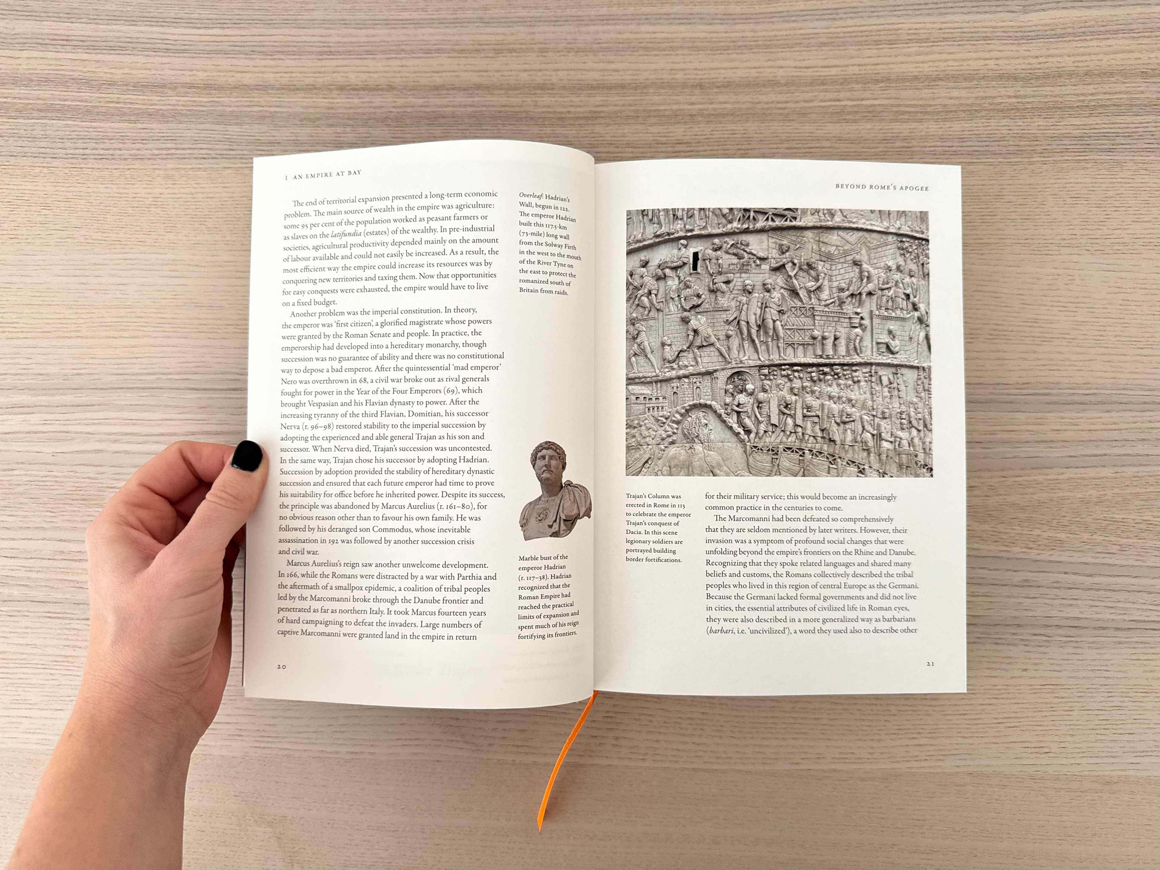
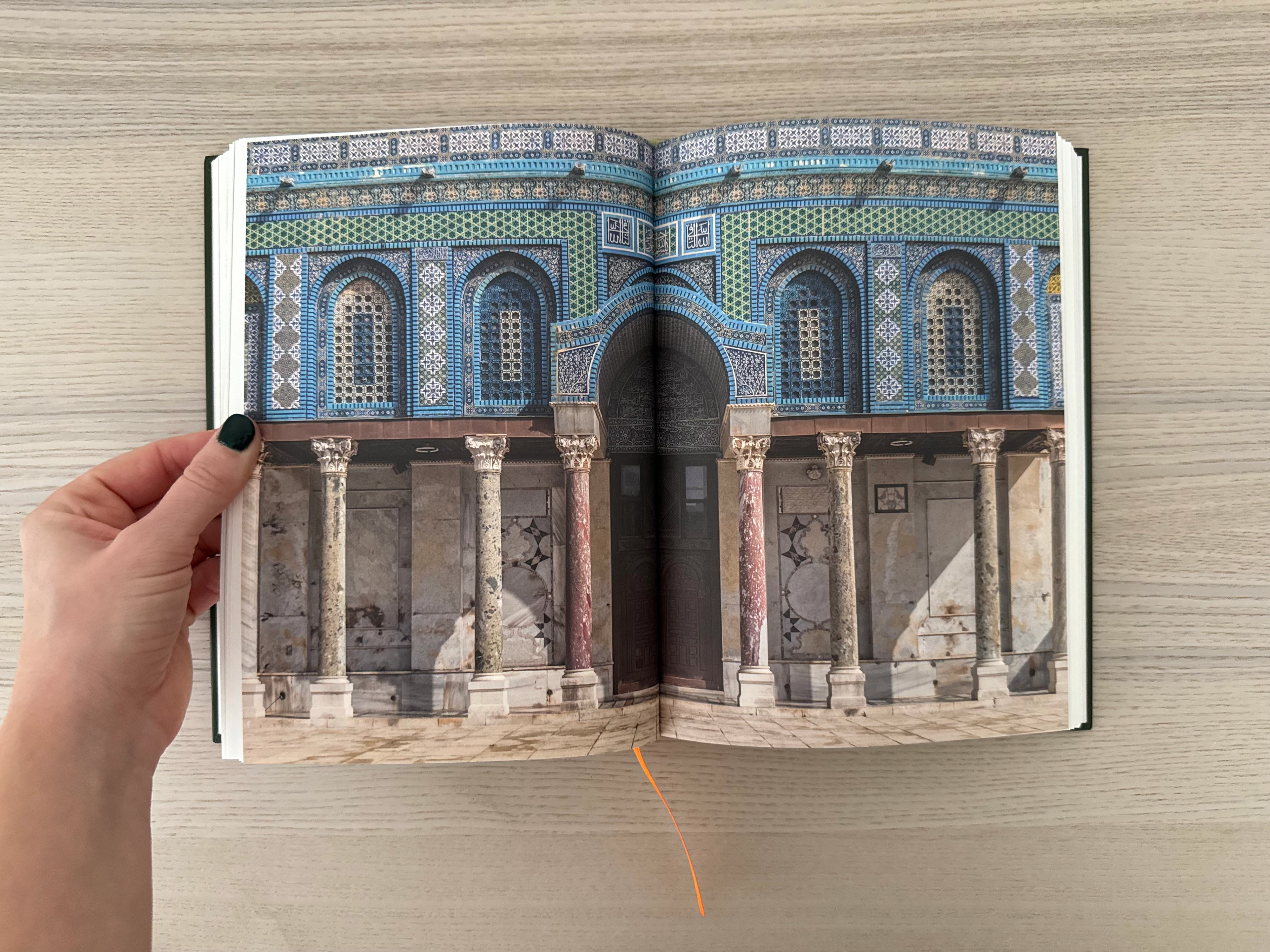
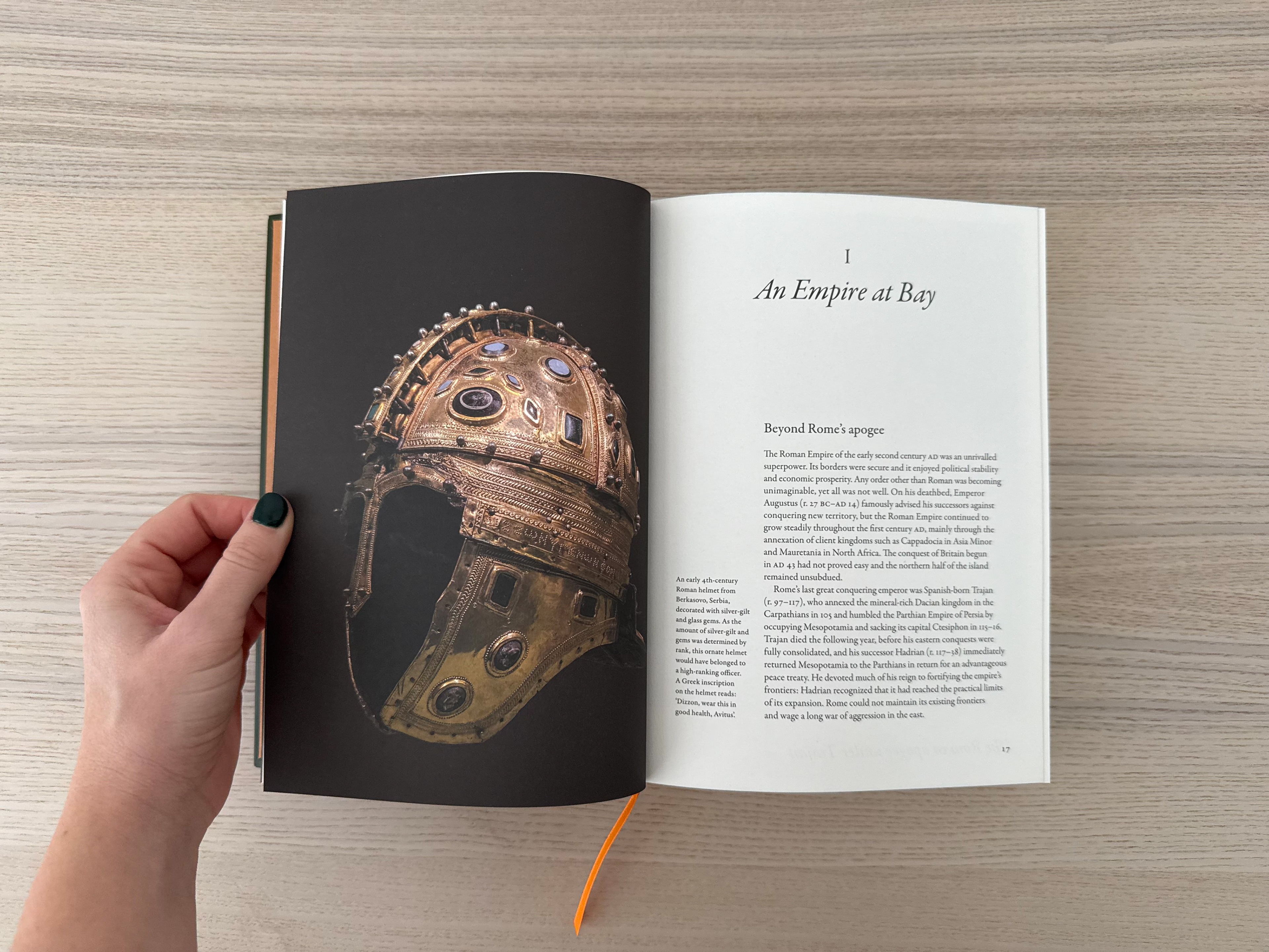
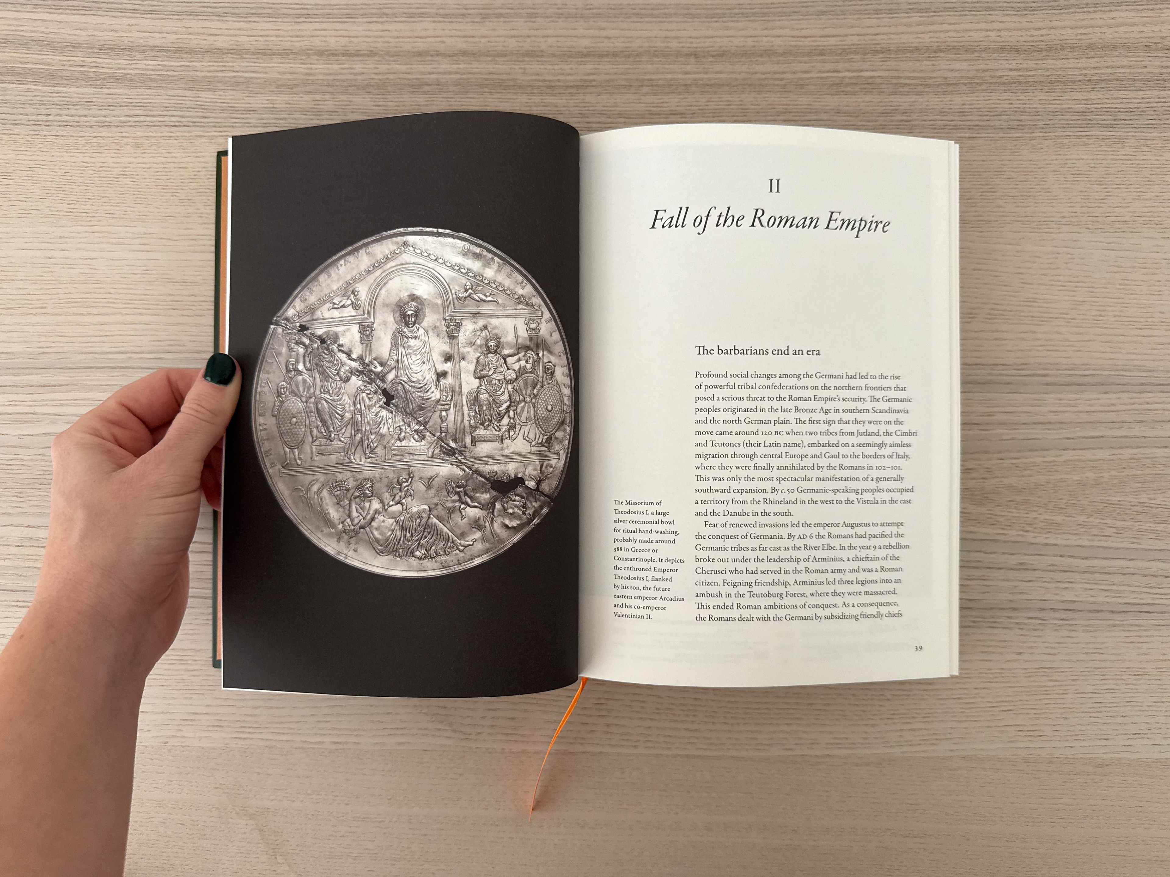
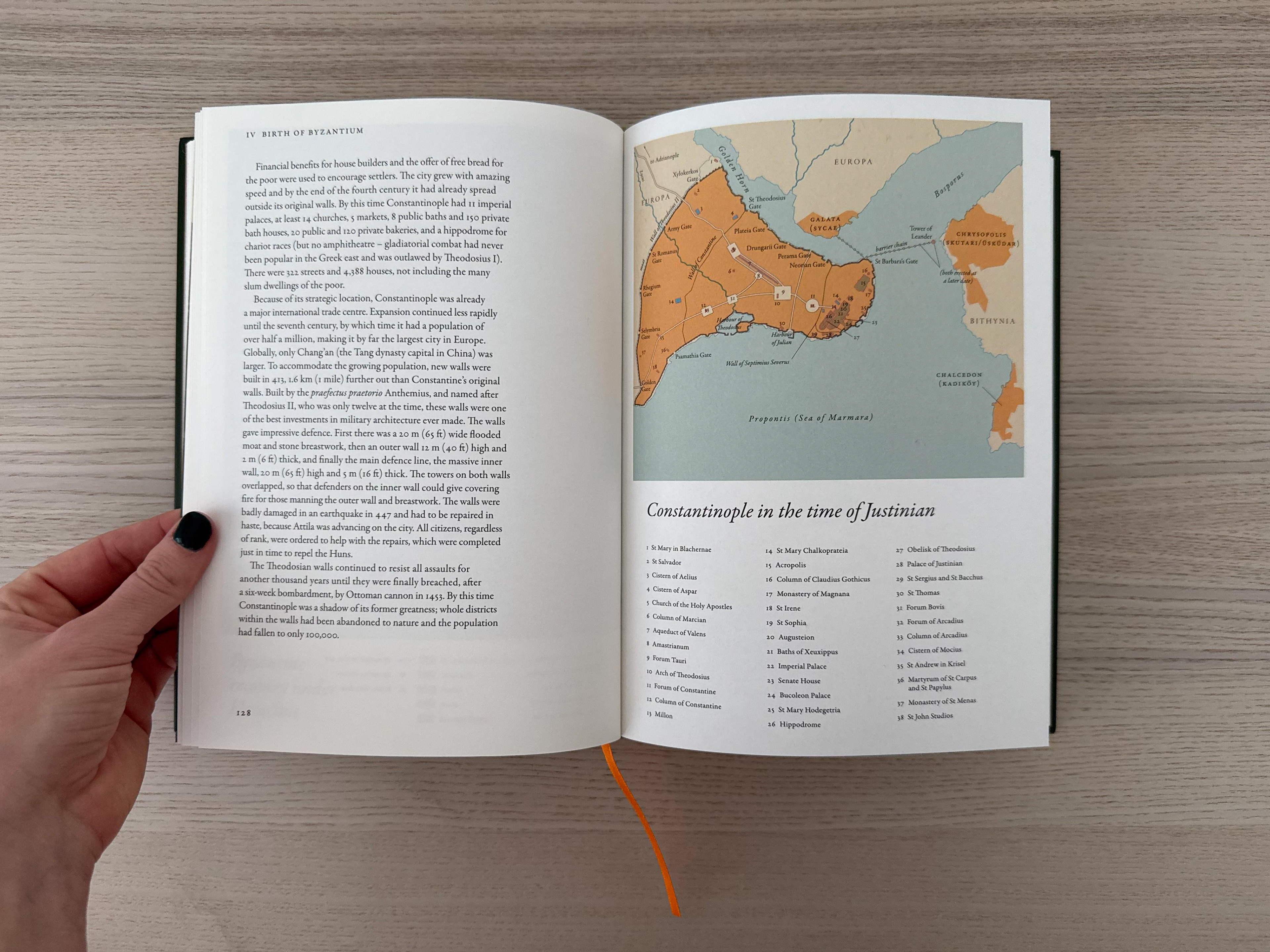
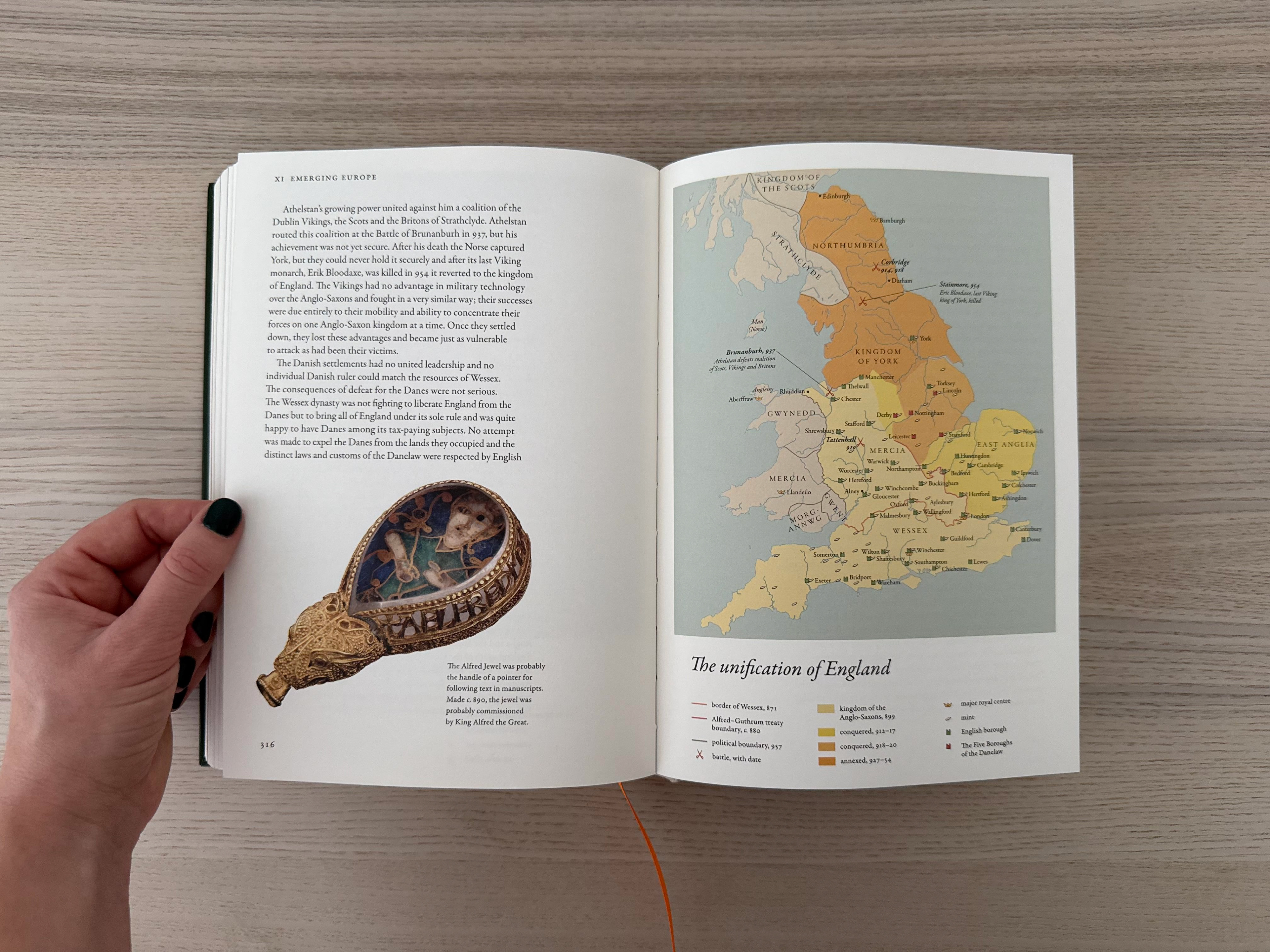
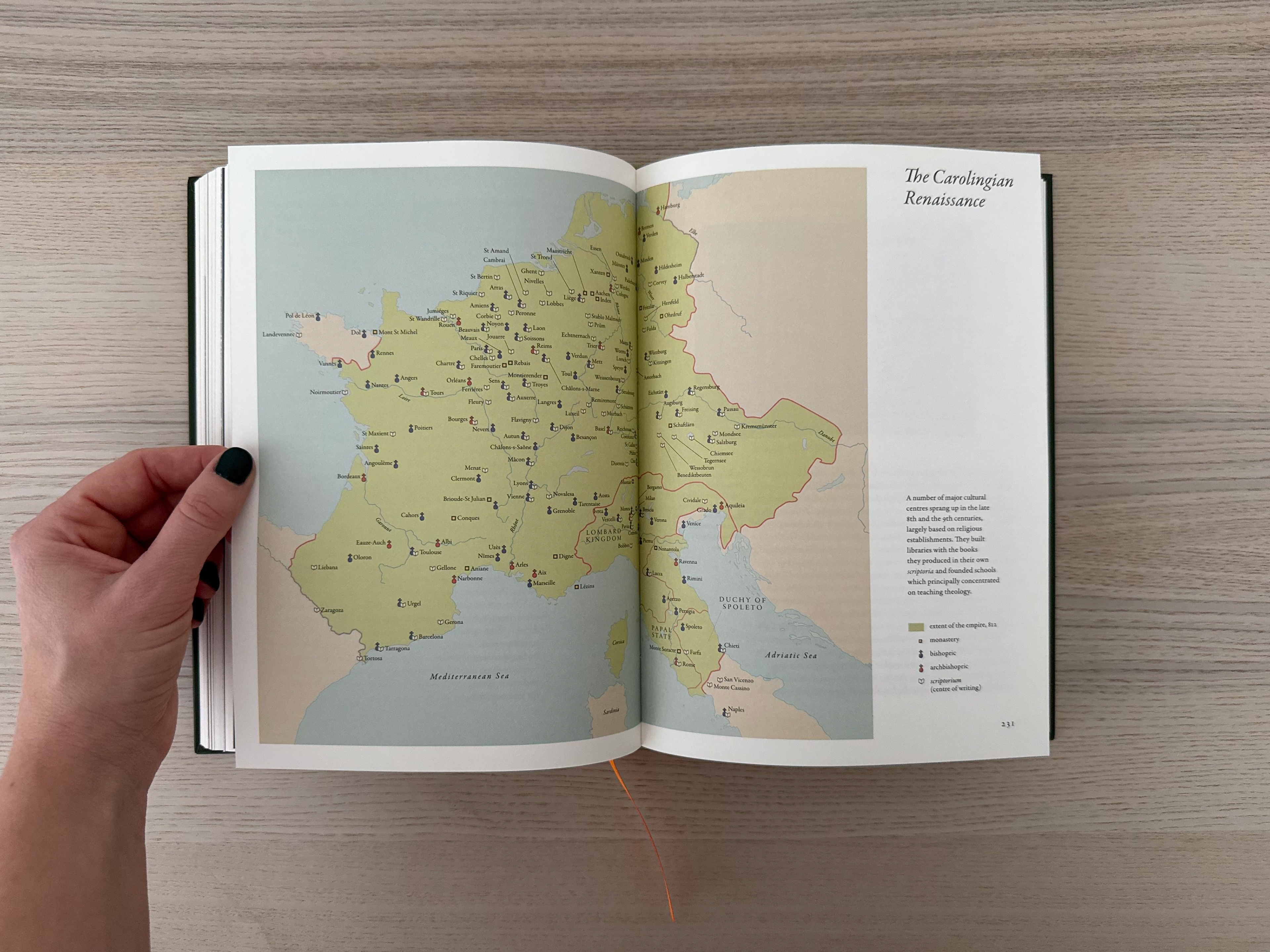
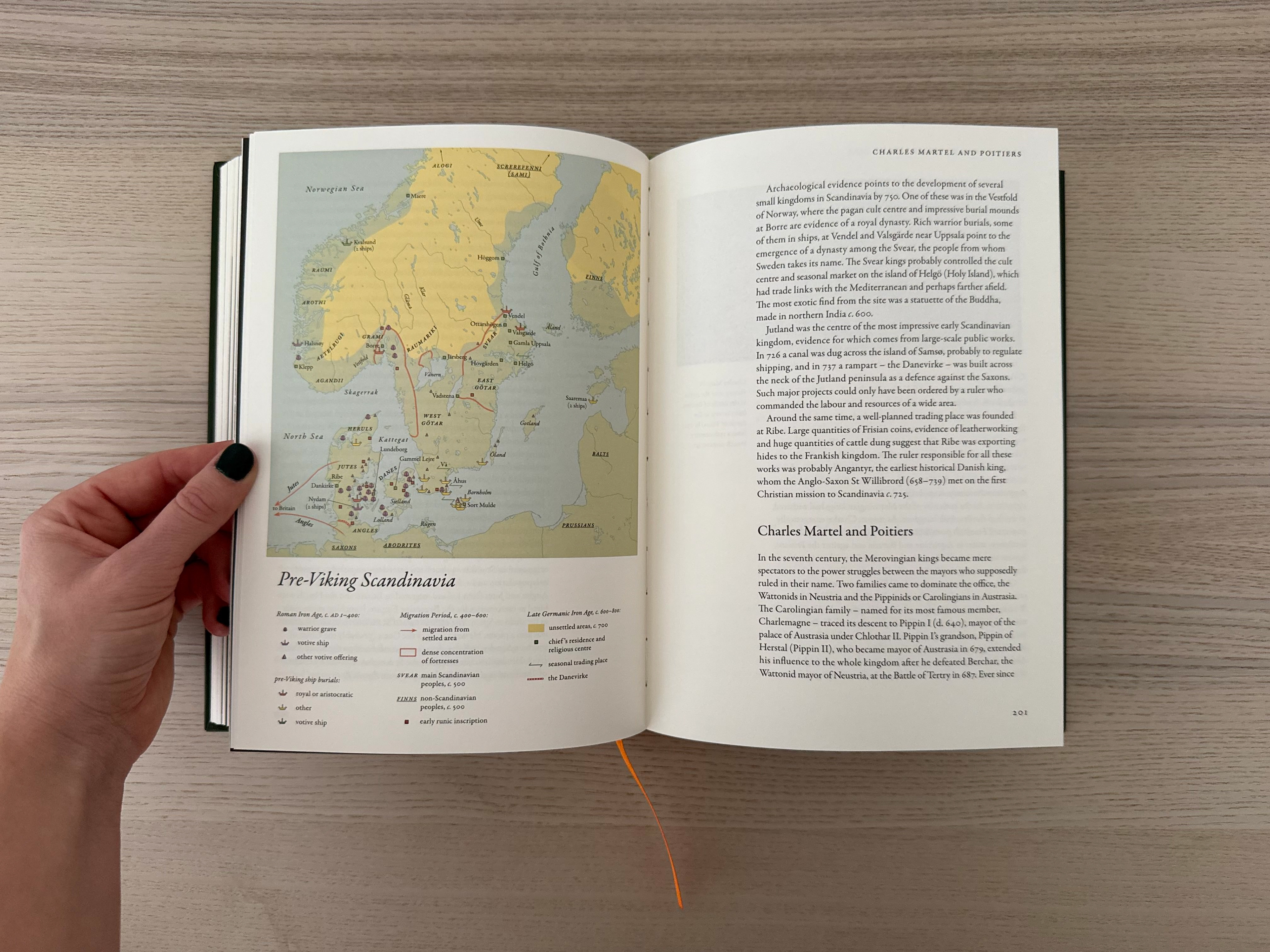
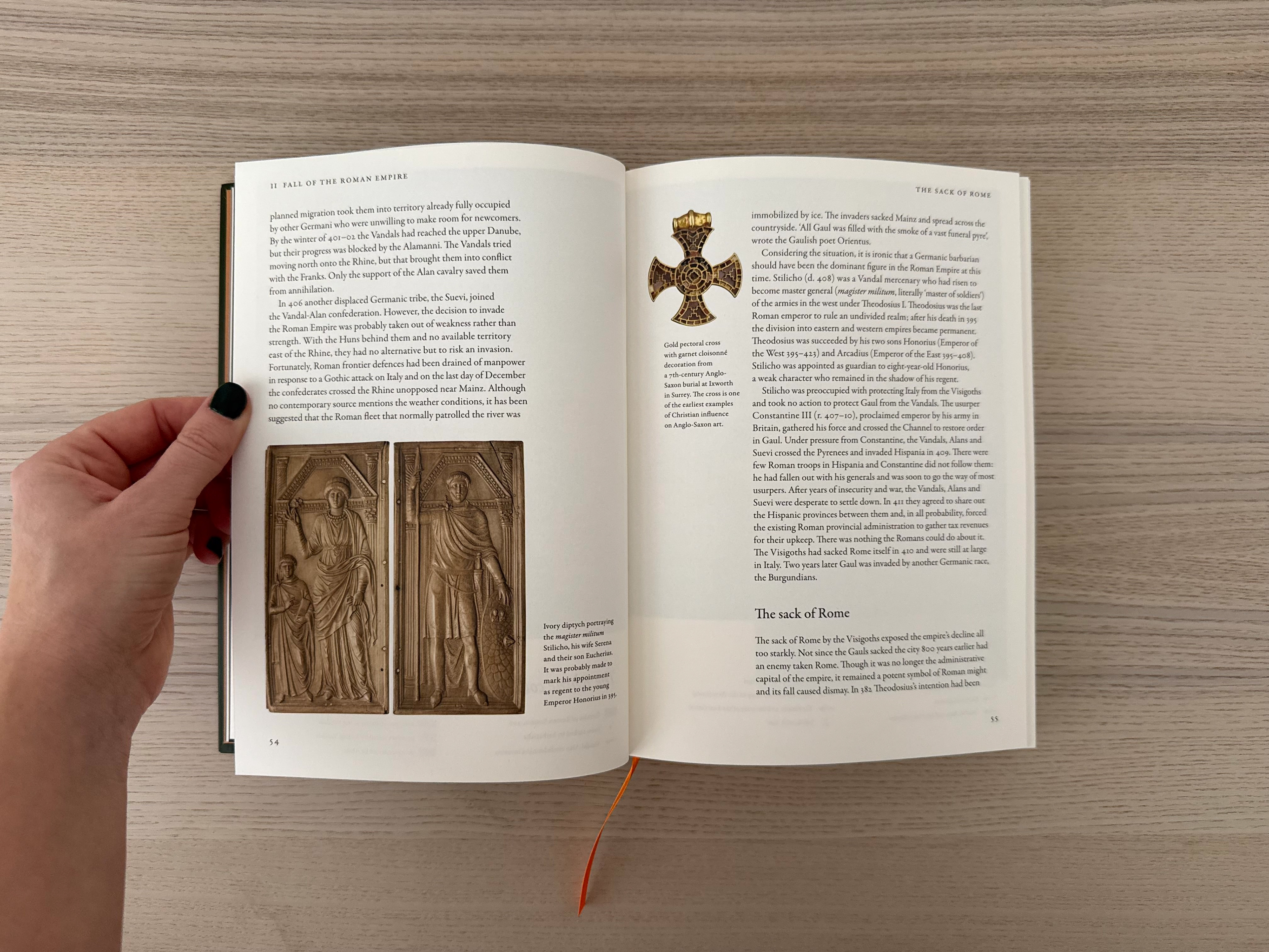
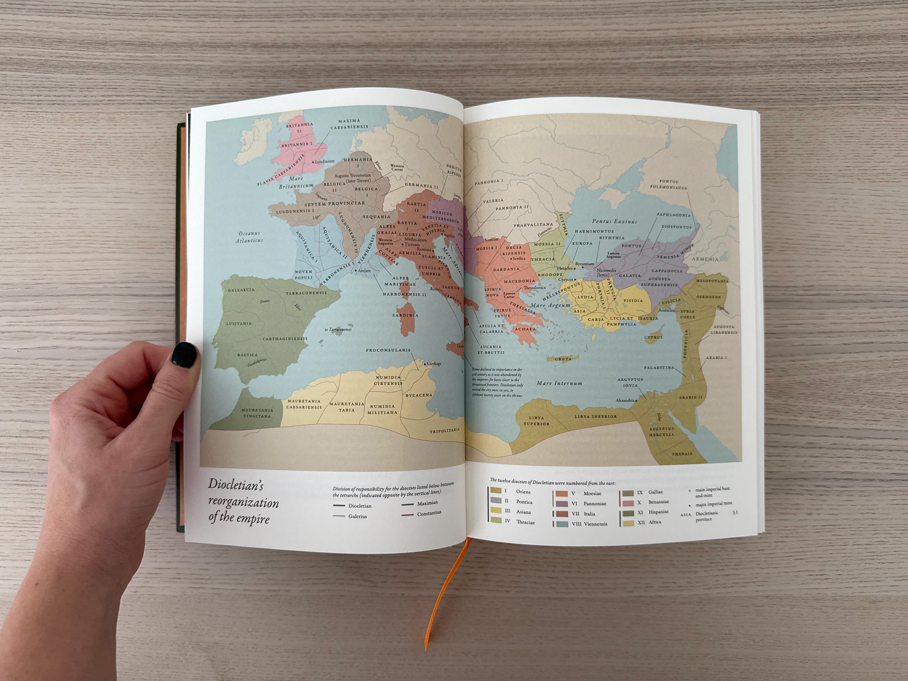
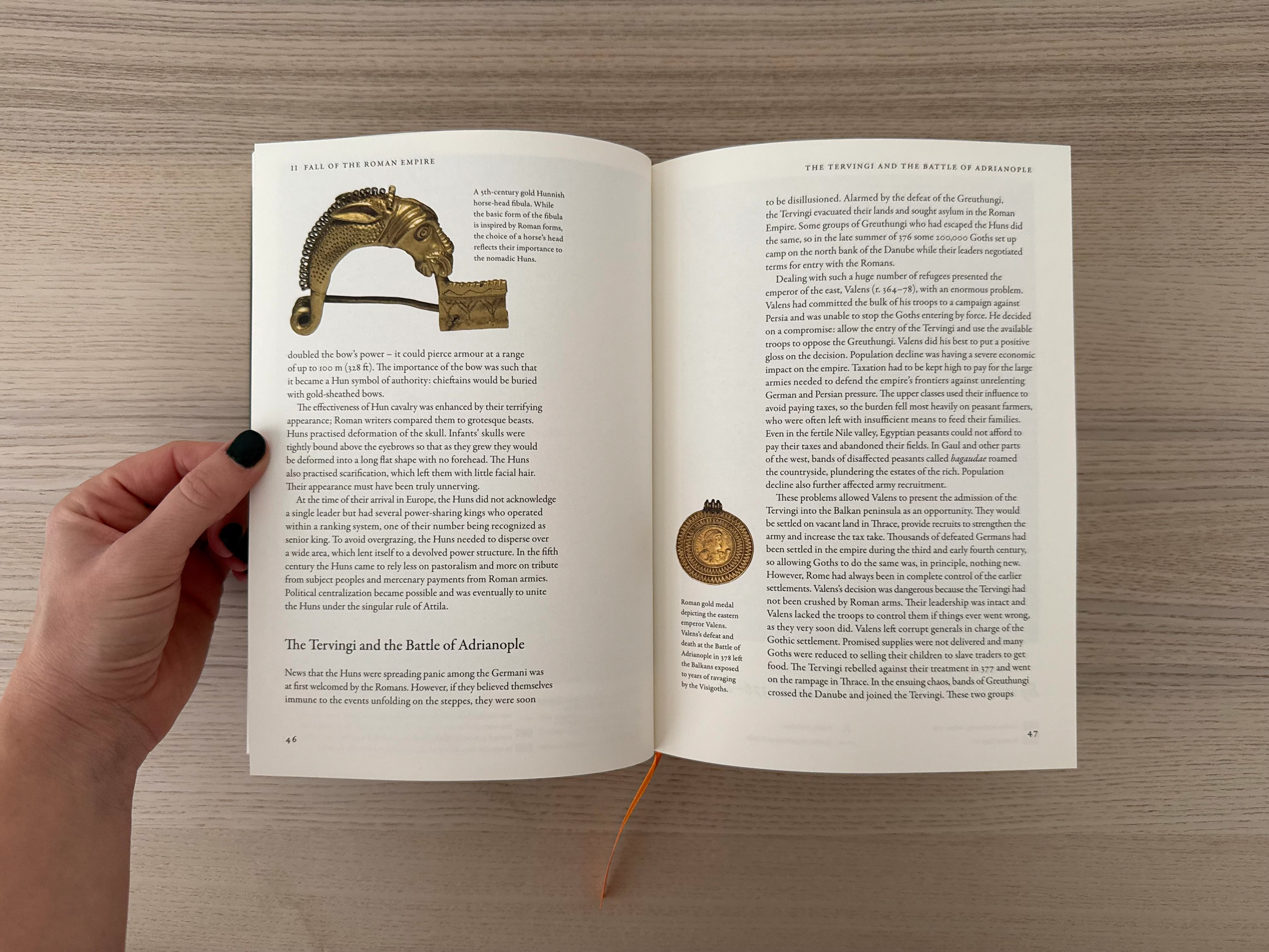
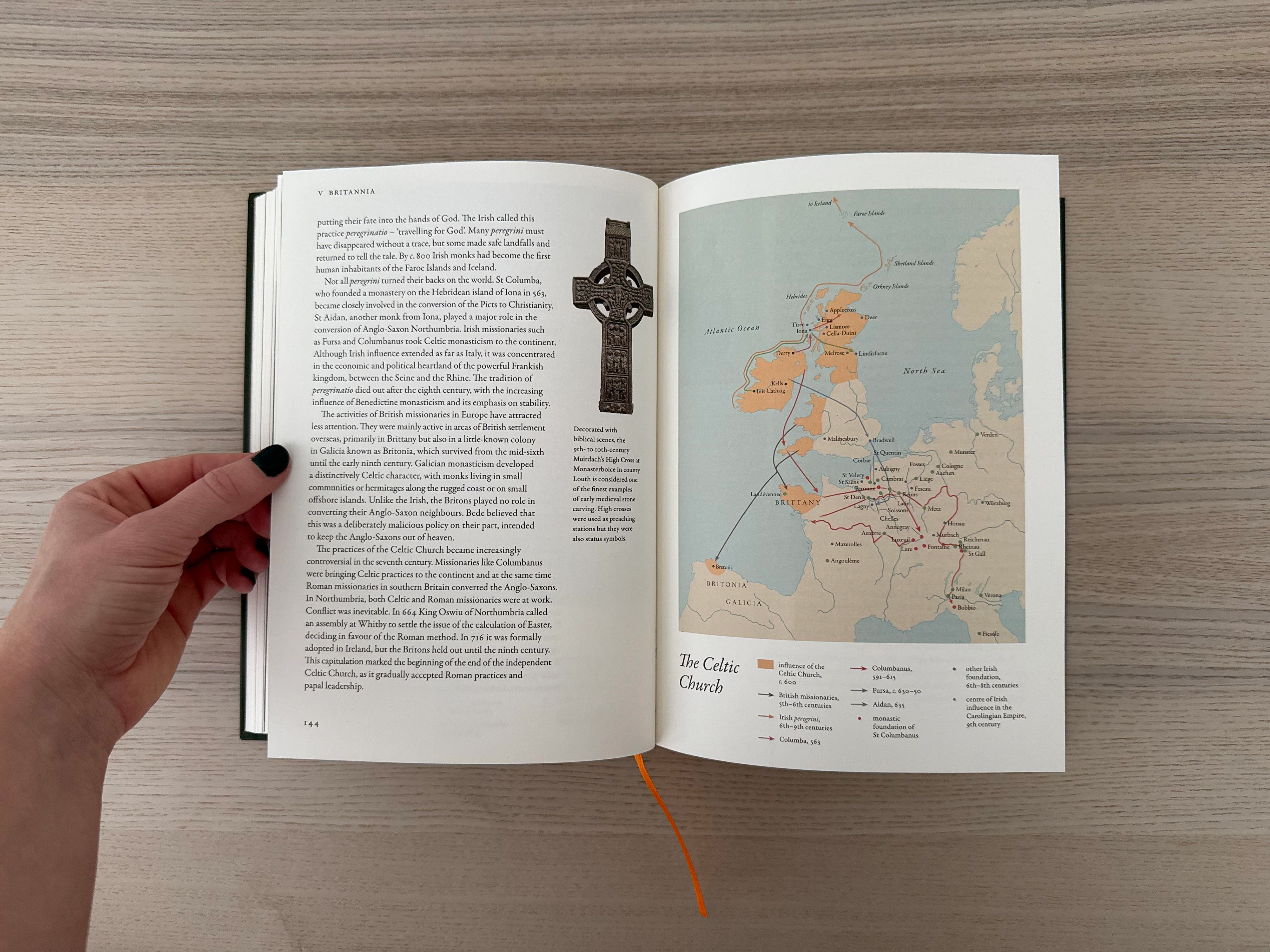
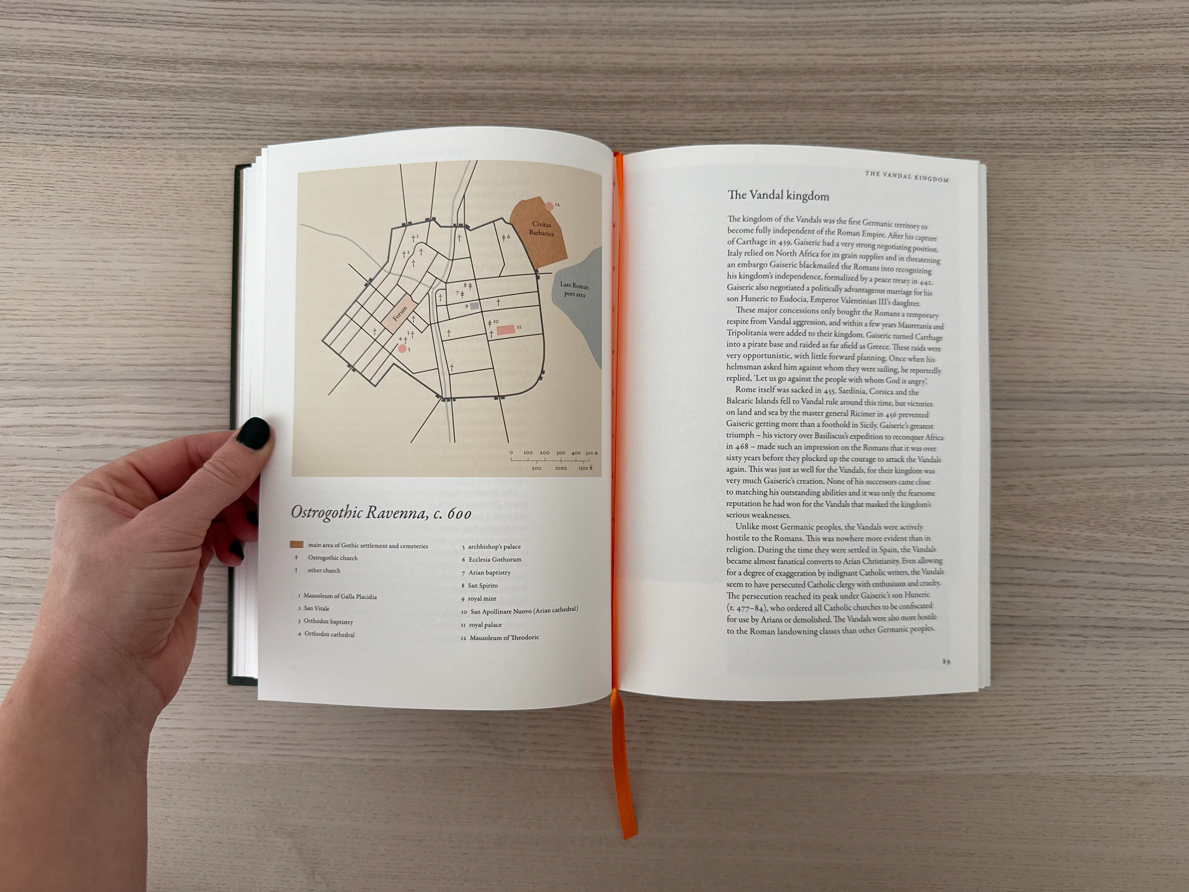
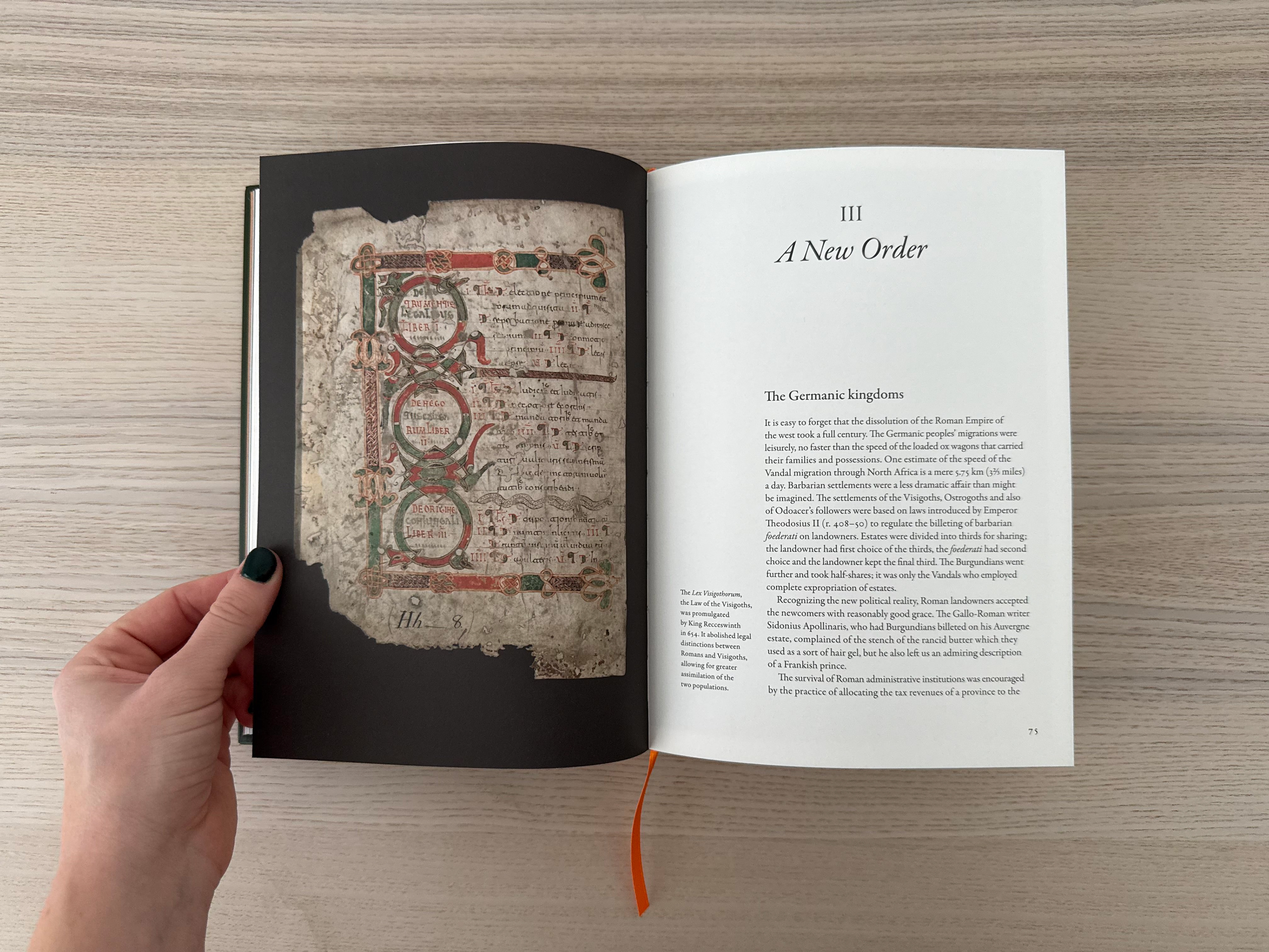
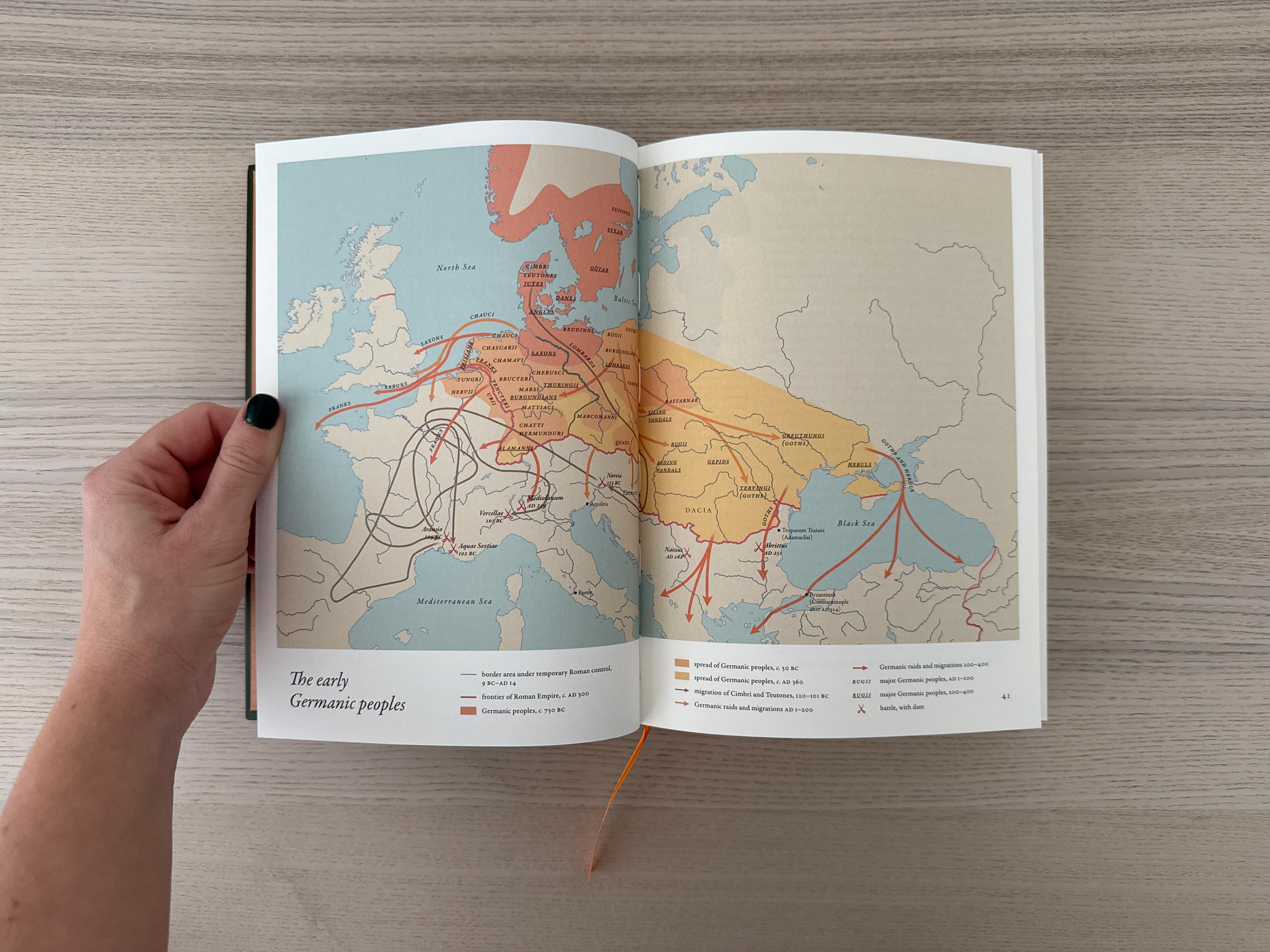
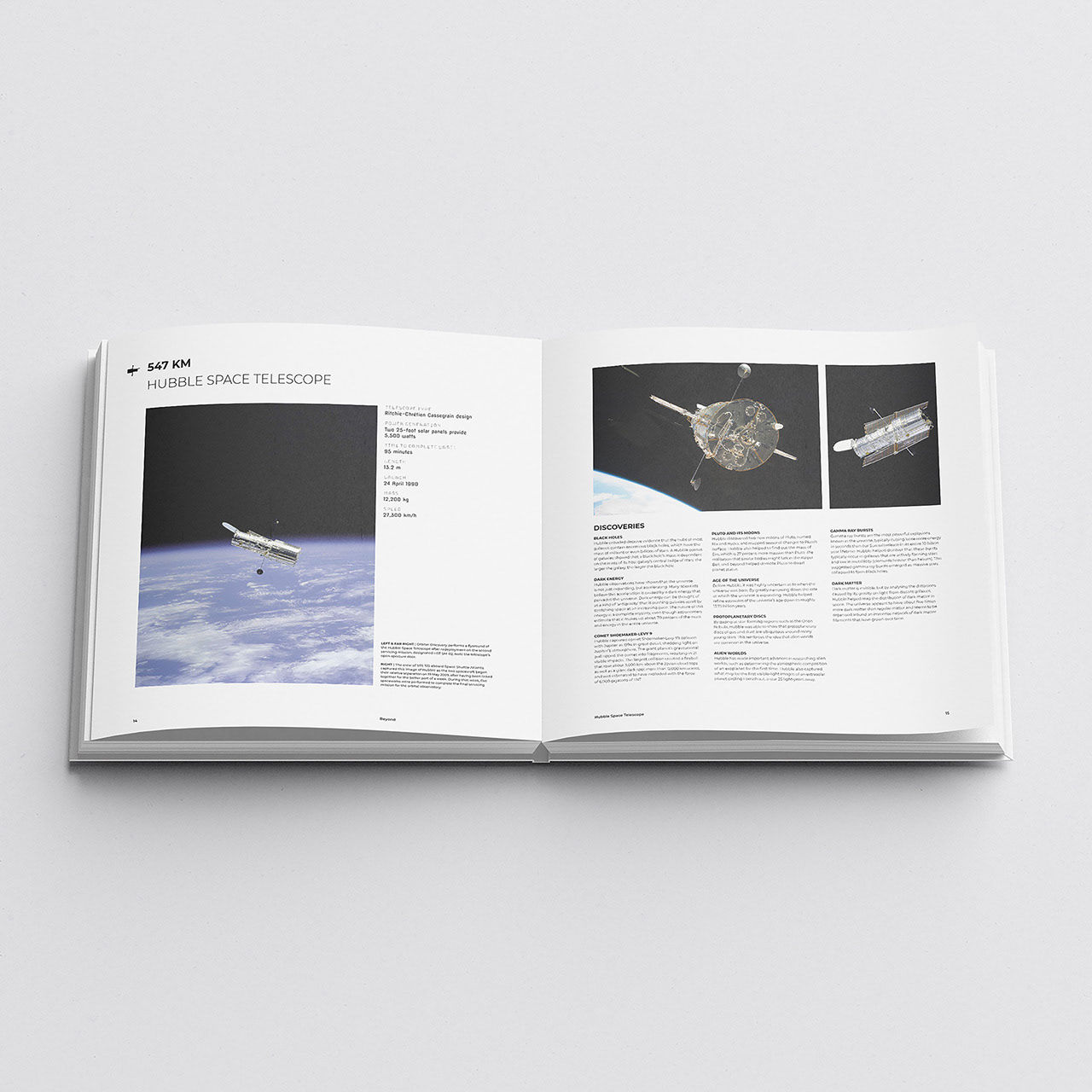
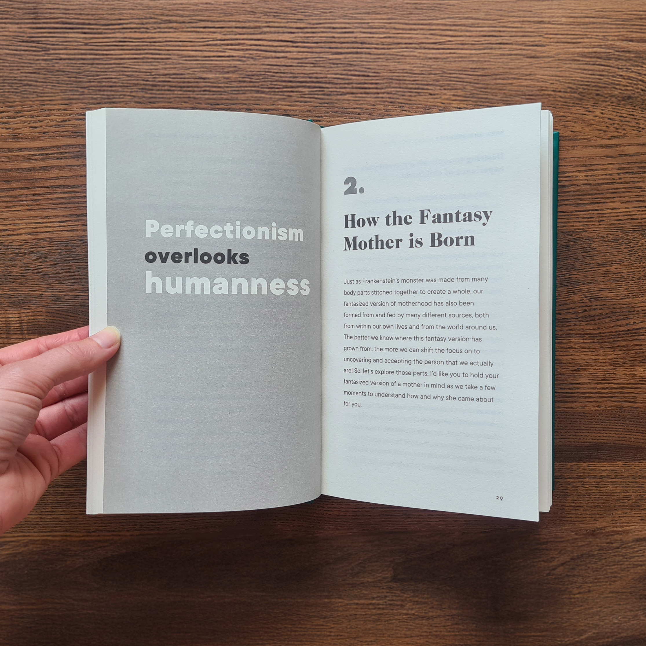
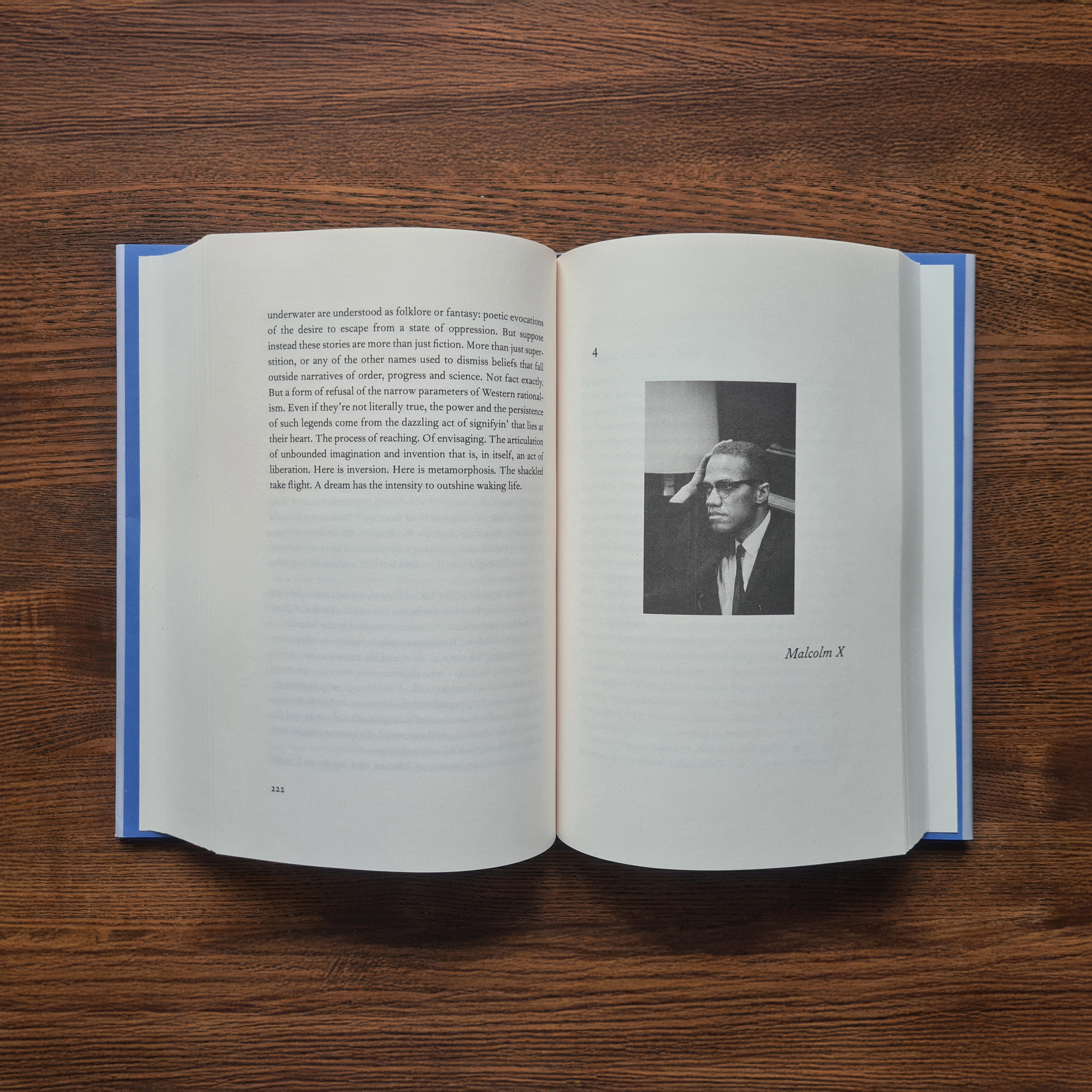
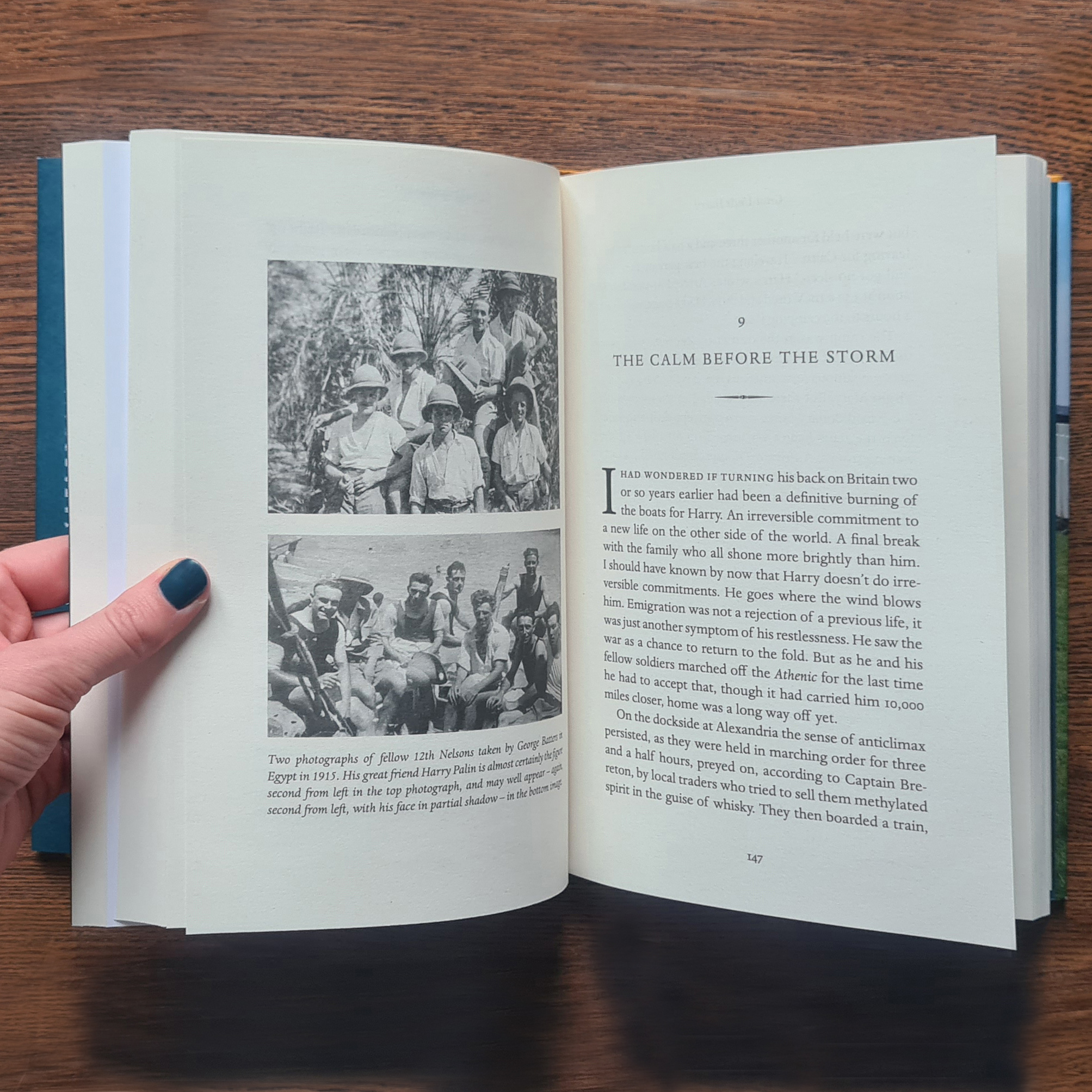
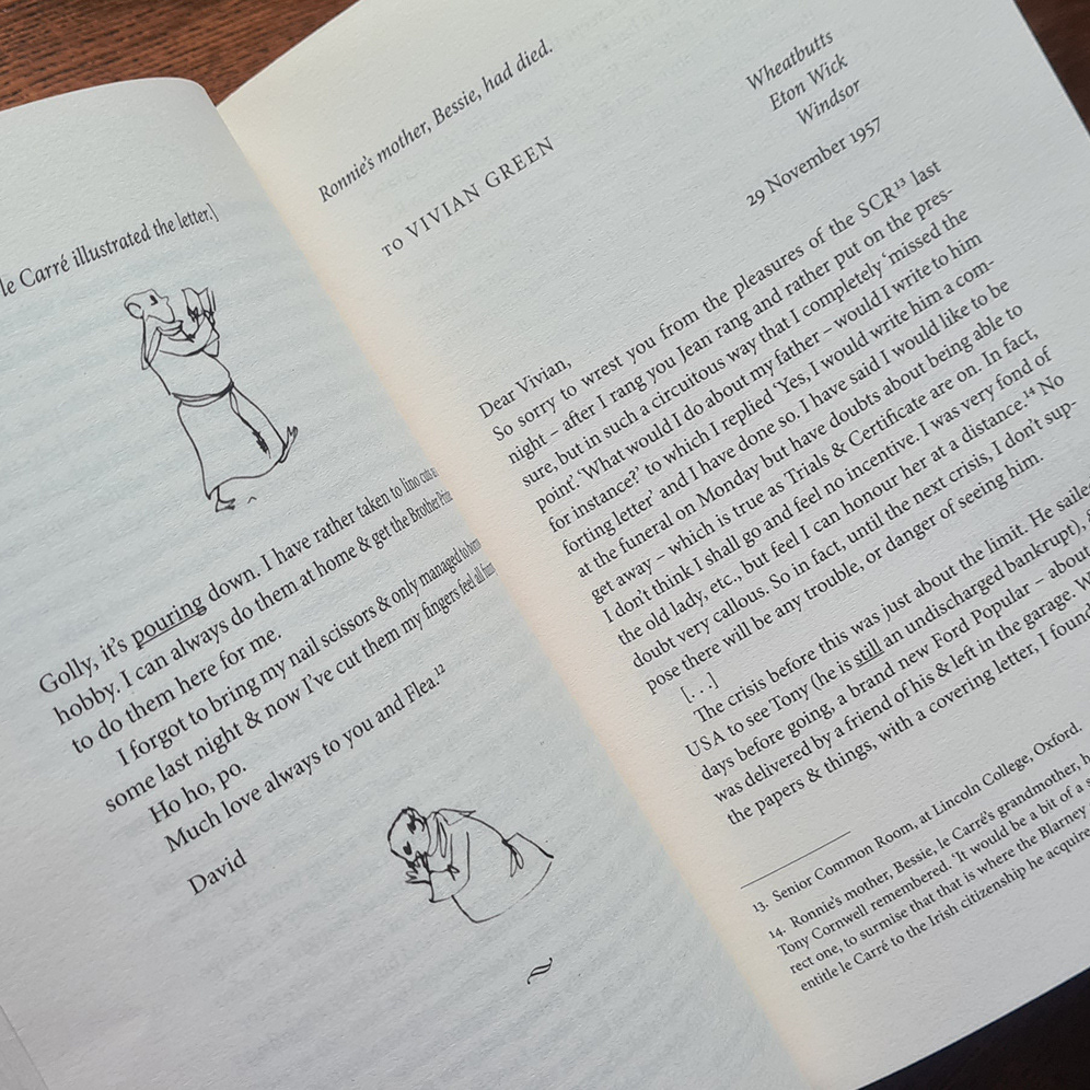
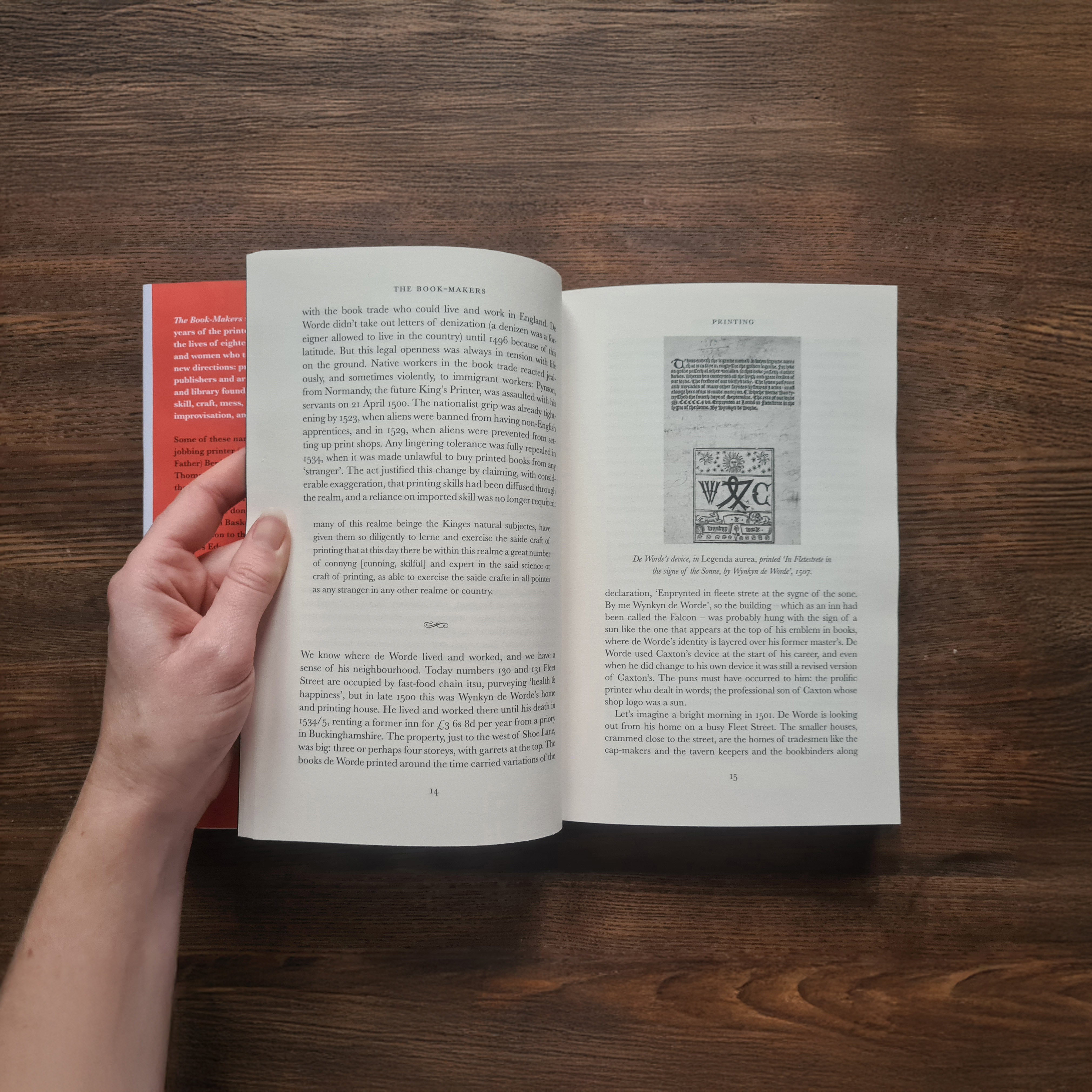
The book was to be an atlas of sorts, but would also include a lot of imagery and a large amount of text. The brief was to take this content and create a richly illustrated serious 'reading' book. The grid system I created accommodated maps of varying sizes, from half-page to full-spread, and allowed various placement options for the legend. I used photographs to break up the text and add interest, with lower resolution or less detailed images placed in the inside margin, which also accommodated captions. Full-bleed, full-spread photographs are peppered through the book, providing a pause between text pages and detailed maps. Each chapter opens with a bold cutout image on black depicting an item from the period, providing a clear visual break and ensuring chapter breaks stand out when flicking through the book.
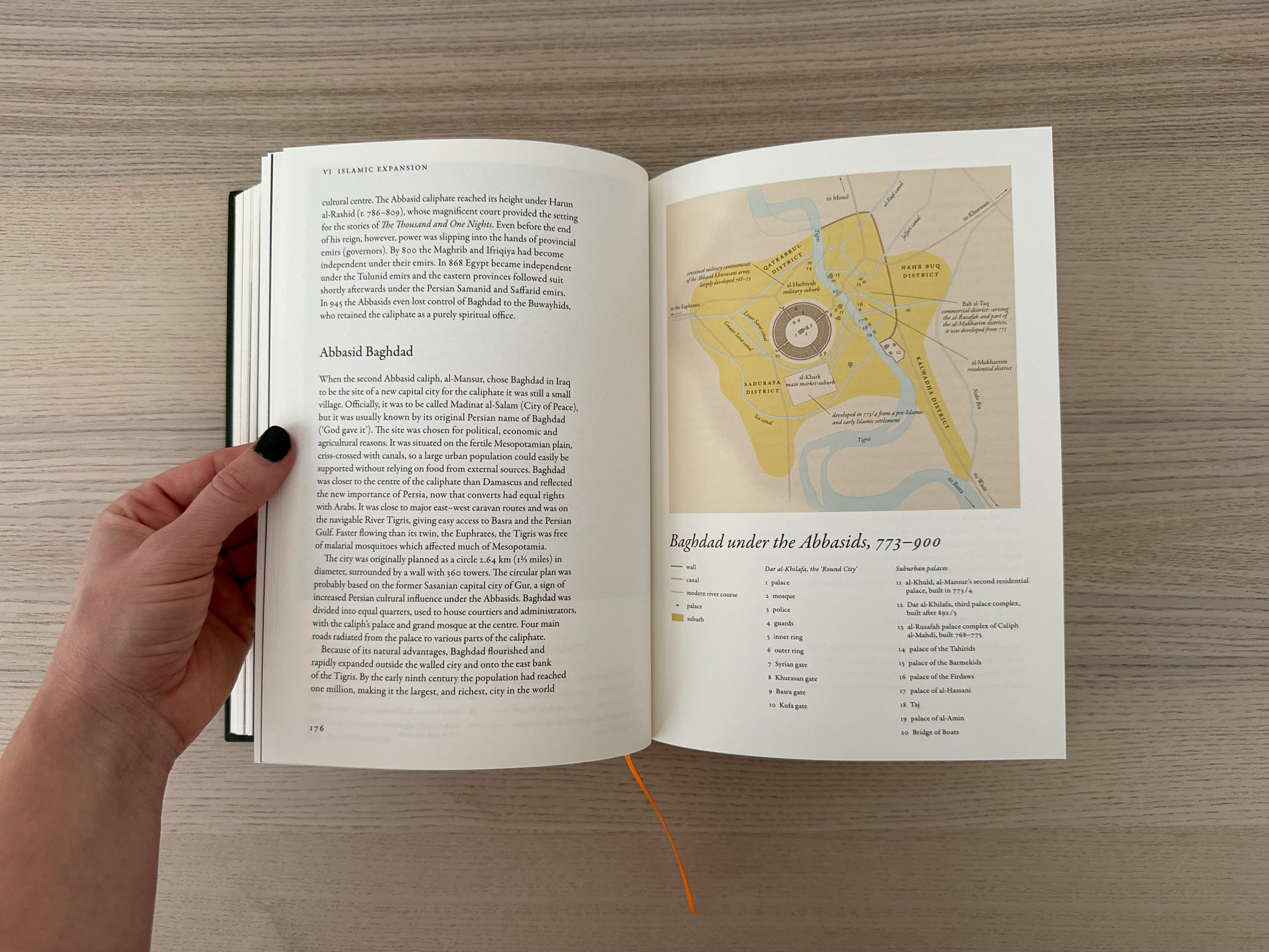
Alongside designing the book, I was also commissioned to design 85 maps. Base images of maps were provided, which were brightly coloured and without text labels. I adjusted the colours of the maps to earthier tones to give a more antique look and feel that better suited the historical content of the book, and applied labels in a classic typeface to enhance their elegance. Many maps carried a large amount of information and a lot of labels, so adjusting the style and placement of labels in a way that ensured the maps were clear and intelligible while remaining sophisticated was a key challenge.
Hardback, 240 x 170 mm, 352 pp